Targeted Drone Spraying Using Multispectral Drone Data
Innovative drone services to collect crop data and only spray targeted areas using precision drones


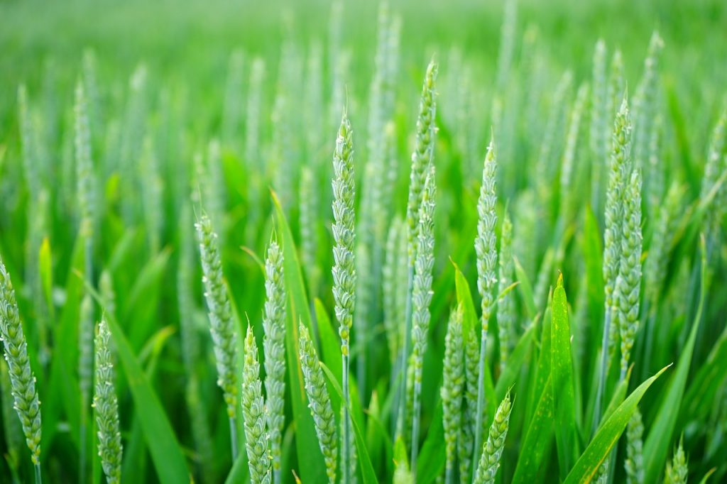
Field Mapping
Using our DJI Mavic 3 Multispectral drone we can do some pre planning and map out any areas or boundaries that you want us to analyse. If you already have the areas mapped we can use your files. Once the areas are mapped we can plan the drone scanning routes. The drone will cover the whole area in a matter of minutes and give us the data we need to see the current crop health that is invisible to the human eye. Multispectral imagery uses NIR (near infra red) Cameras to see what light is being absorbed by the plant and what light is being bounced back. This will produce a crop health report using the vegetation index. Multispectral images can detect patches or areas of the field that might need attention. This might be simply an area that needs more water to fix the problem. Once the field data is collected you can explore the area yourself and check the current state of the crop. Similar to a crop walk the images help determine what areas you need a little more investigation
NIR Multispectral Images
Once the data is collected the results are shown in colour to help identify poor crop health and areas that need more attentions. After the data is collected a simple crop walk to the areas can help determine the cause of the plant stress. Using drones for multispectral imagery is fast and helps prevent the soil from compaction because at this point no soil has been touched, no diesel has been used and we can now look at the next stage.


Spot Spraying using drones
The next stage is to determine the best course of action. This might need the use of machinery to fix the problem. The multispectral data might identify the areas that are in most need irrigation. Drones can also be used to help fix the problem. To help prevent soil damage and diesel consumption, drones can help fix problem areas using spot spraying techniques. At this current time we are unable to use drones for the spraying of pesticides. This is currently being worked towards and will hopefully be available to us in the near future. Once the data is analysed it can be used to set what amounts of chemicals the crop needs. The crop can be treated using precision drones to spray or drop granules to precise areas or the data can be inputted into tractors.
Get In Touch
Questions Answered
Contact Steve: 07779305136
Interested in our services? Please don’t hesitate to get in touch. We can discuss your interest and answer any questions you have about the services we offer.